Kenilworth local newspapers
Local newspapers matching Kenilworth
C
- Cooroy Rag »
Producing 7000 copies per month, the Cooroy Rag is a Free publication with all profits (after costs) being distributed throughout the local area.
The Cooroy Rag has been running for over 48 years. (Cooroy, Eumundi, Pomona, Cooran, Boreen Point, Kin Kin, Imbil, Kenilworth, Doonan, Tewantin, Tinbeerwah, Ridgewood, Belli, Amamoor, Harbour Town)
H
- Hinterland Voice (Cooroy - Pomona - Tewantin - Noosaville - Noosa Junction - Noosa - Sunshine Beach - Doonan - Eumundi - Yandina - Nambour - Woombye, Palmwoods, Mapleton, Montville, Maleny, Witta, Imbil, Kenilworth, Amamoor, Kandanga, Gympie, Tin Can Bay, Rainbow Beach, Wolvi, Goomborian, Cooran, Kin Kin.)
M
- Mary Valley Voice » (Amamoor, Belli Park, Brooloo, Carters Ridge, Conondale, Coolabine, Cooroy, Crystal Waters, Dagun, Gheerulla, Imbil, Kandanga, Kenilworth, Maleny, Moy Pocket, Obi Obi, Pomona, Ridgewood & Yabba Creek. Sunshine Coast) more»
S
- Sunshine Coast Daily (Maroochydore, Caboolture, Caloundra, Nambour, Noosa, Bribie, Beerwah, Bli Bli, Brisbane, Buderim, Conondale, Coolum, Cooran, Cooroy, Currimundi, Eudlo, Eumundi, Forest Glen, Glasshouse, Kawana, Kenilworth, Kin Kin, Landsborough, Maleny, Mapleton, Marcoola, Montville, Mooloolaba, Mooloolah, Mudjimba, Noosa Heads, Noosaville, Palmwoods, Peachester, Peregian, Pomona, Tewantin, Woombye, Wurtulla, Yandina)
- Sunshine Coast Sunday (Beerwah, Bli Bli, Buderim, Caloundra, Conondale, Coolum, Cooran, Cooroy, Currimundi, Eudlo, Eumundi, Forest, Glen, Glasshouse, Kawana, Kenilworth, Kin Kin, Landsborough, Maleny, Mapleton, Marcoola, Maroochydore, Montville, Mooloolaba, Mooloolah, Mudjimba, Nambour, Noosa Heads, Noosaville, Palmwoods, Peachester, Pomona, Tewantin, Woombye, Wurtulla, Yandina)
Kenilworth, Queensland
|
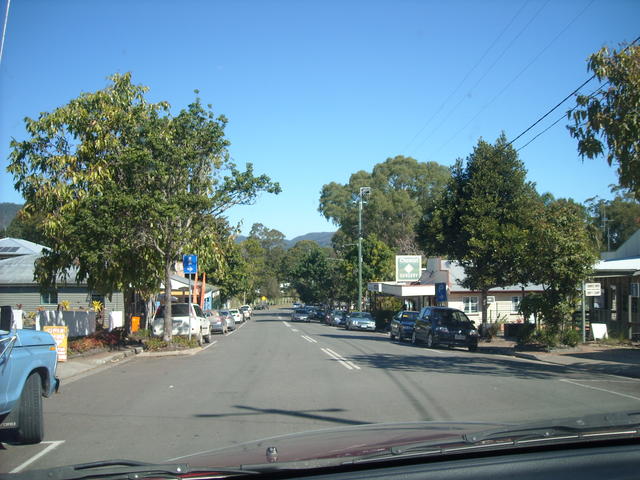
Photo Main Street Kenilworth Kenilworth is in Maroochy Shire, on the Sunshine Cost Hinterland, east of the Conondale National Park Photo Gary Pope 15/02/2011 |
Kenilworth is a small town, with a population of less than 300, in the beautiful upper Mary Valley Country, behind the Blackall Ranges and only about one and a half hours drive north of Brisbane. The Mary River flows North from Maleny, through Conondale, Kenilworth, Gympie, Tiaro, Maryborough, and then into the sea opposite Frazer Island. The town retains its 1920's atmosphere and, for the visitor, has a surprising amount of interest with a very engaging historical museum and a good range of shops, an art gallery and a cheese, yoghurt and ice-cream factory. |